Ghana has initiated a comprehensive project to fully map its maritime territory, with the work expected to be completed within three years. The initiative, led by the Ghana Hydrographic Office, aims to produce detailed charts of the country's waters.
The primary objectives are to ensure safe navigation for vessels, enhance maritime trade, support disaster management, and bolster national economic development. Accurate hydrographic data is critical for port development, offshore resource exploration, and environmental protection.
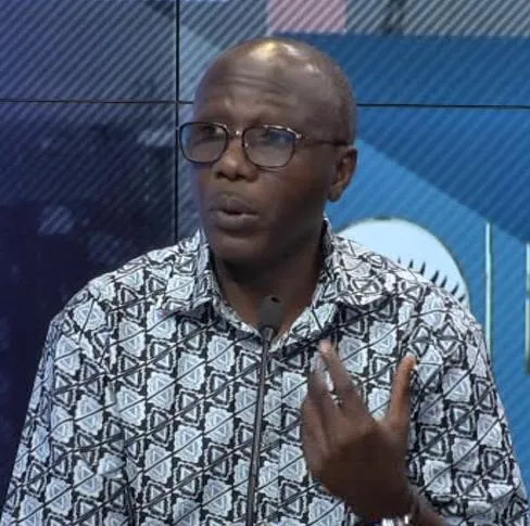
Dr. Kamal-Deen Ali, a retired Naval Captain and the Director of the Ghana Hydrographic Office, is overseeing the project. He emphasized that modern, precise charts are essential for a coastal state's security and blue economy ambitions.
The mapping will cover Ghana's territorial sea, exclusive economic zone, and continental shelf. The project aligns with international obligations under the Safety of Life at Sea (SOLAS) convention and supports sustainable ocean governance.