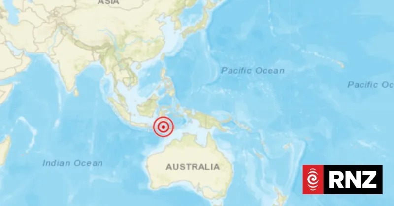
A powerful earthquake with a magnitude of 7.7 struck off the coast of Indonesia on August 15, 2026, according to the European-Mediterranean Seismological Centre (EMSC). The quake occurred at a depth of approximately 10 kilometers (6.2 miles), and authorities issued a tsunami warning for coastal areas.
The epicenter was located in the Banda Sea, near the Tanimbar Islands. The Indonesian Meteorological, Climatological, and Geophysical Agency (BMKG) reported that the quake was felt strongly in several regions, including the Maluku and Southeast Sulawesi provinces. There were no immediate reports of casualties or major damage, but officials urged residents in coastal areas to move to higher ground as a precaution.
The Pacific Tsunami Warning Center initially issued a tsunami threat for the region, but later downgraded it to a watch. Several aftershocks, ranging from magnitude 5.0 to 5.8, were recorded in the hours following the main event. The EMSC and the U.S. Geological Survey (USGS) both confirmed the magnitude and location, with the USGS reporting a slightly different depth of 10.6 kilometers.
Indonesia sits on the Pacific Ring of Fire, an area of high seismic activity. The country has experienced several devastating earthquakes and tsunamis in the past, including the 2004 Indian Ocean tsunami that killed over 200,000 people. Local authorities are monitoring the situation and have deployed teams to assess potential damage in remote islands.