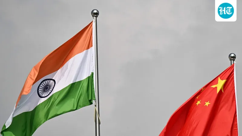
India on Friday officially identified 27 places and geographical features in Arunachal Pradesh, assigning them standard names on the Indian map. The move aims to facilitate accurate recognition and raise public awareness, according to a government statement.
The list includes 21 land areas, four passes, and a lake, all located in the Upper Subansiri district. This action is part of India's ongoing efforts to assert its sovereignty over the region, which China claims as part of its own territory.
The government said the naming would help in the accurate identification of these locations and promote public awareness about India's territorial integrity. The names were chosen based on local usage and historical references.
This development comes amid continued border tensions between India and China in the eastern sector of the Line of Actual Control (LAC). India has repeatedly rejected China's claims over Arunachal Pradesh, which it administers as a state.